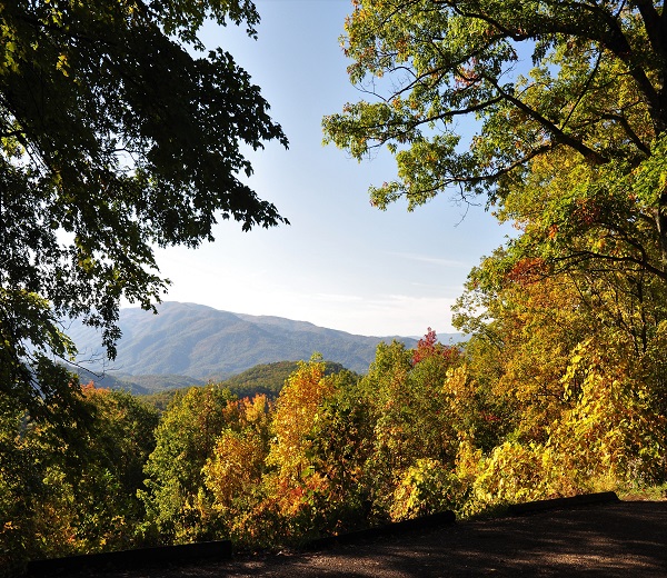
Without a doubt, hiking the Smokies is one of the most popular activities for guests visiting Great Smoky Mountains National Park. Here’s a quick look at just a few of the more popular hiking destinations you may want to consider when planning a trip to the Smokies. We’ll be telling you about more in the weeks to come.
Laurel Falls – This paved, 2.5-mile-long trail is one of the easiest and most popular hikes in the national park. Originating on Little River Road, less than four miles from Sugarlands Visitor Center, the trail leads hikers on an easy trek to a scenic 60-foot waterfall.
Alum Cave Bluff – This site marks the approximate halfway point to the summit of Mt. LeConte, the third-highest peak in the Great Smoky Mountains. The trailhead is 8.6 miles south of the visitor center on Newfound Gap Road, and the 2.5-mile, one-way hike is rated as moderate in difficulty. The bluff itself a black slate formation that juts out nearly 25 yards from the mountainside is a popular stopping point for hikers. Other notable features found along the trail are Arch Rock (a hollowed-out rock formation) and a wide scar formed by massive landslides.
Chimney Tops – These twin slate-rock pinnacles are an easily recognizable sight from Newfound Gap Road, towering some 1,300 feet above road level. This steep, four-mile hike is rated as strenuous, but as Great Smoky Mountains hiking trails go, the payoff is well worth the effort. Many nearby Smokies peaks are in plain view once you reach the top, including Mt. LeConte to the northeast, Mt. Mingus to the southeast and Sugarland Mountain to the west.


